Berwick-upon-Tweed

image
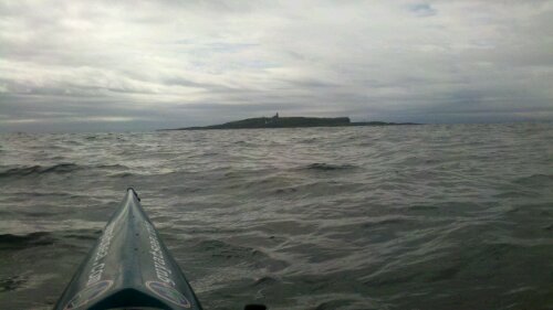
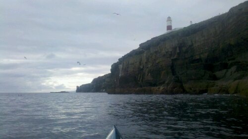
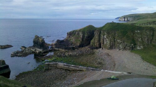
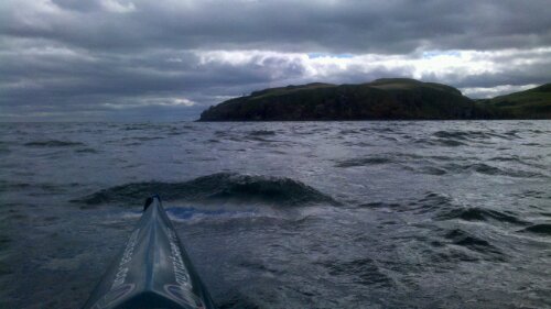
Approaching St. Abbs Head

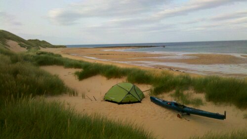
I left Dunbar yesterday and paddled round St. Abbs Head, crossing back into England, and stopping on a beach just south of Berwick-upon-Tweed.

The wind was mostly behind me which was helped.  A bit before Eyemouth, a Minke whale came up for a breath right in front of me – I wasn’t expecting that here.  Unfortunately, there wasn’t enough time to take a picture.

Today, I’ve been enjoying a day of resting and eating.  Stronger winds are forecast for the weekend so I maybe here for a while.

Dunbar

image
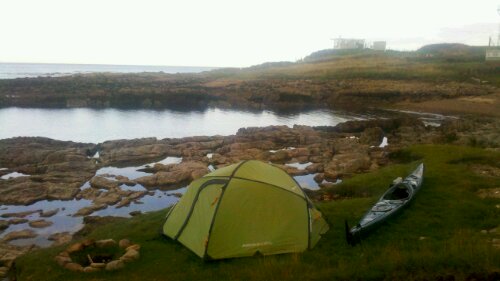
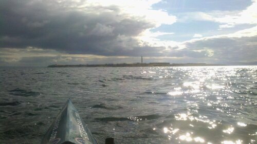
Aporoaching the Isle of May

I crossed from Fife Ness to Dunbar today.  I stopped for a rest and something to eat in the landing inlet on the Isle of May.

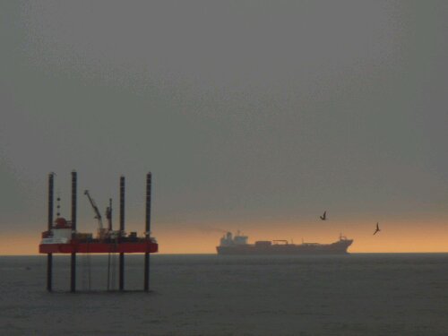
After that, I had to dodge a couple of big tankers, then a headwind made progress slow for the last 10 miles.

Feeling pretty tired, but looking at the forecast, I probably have plenty of rest coming soon !

Fife Ness

image

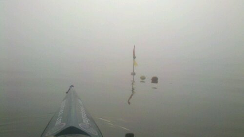
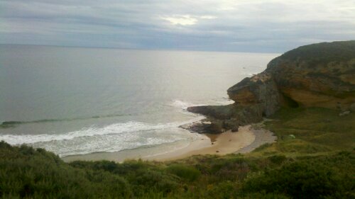
Yesterday was much too foggy for a crossing so I rested again.  Today it was clear so I crossed to Fife Ness, following the Coastguard’s suggestion to stop in the tiny natural harbour here (which is too small to appear on either my map or chart).

Tomorrow I’m hoping to make the last big crossing over to Dunbar.

Carnoustie

image
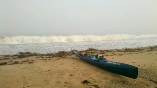
No horizon !

Yesterday, the visibility was so poor that I could hardly see the sea from the beach, so I didn’t paddle.  Today was much clearer as I left Inverbervie.  Thanks very much to Whitelaw family for carrying all my stuff down to the beach and for the generous donations !

The swell was enough to discourage me from landing on most of the beaches I passed, but I aimed for the small sheltered beach at East Haven near Carnoustie.

image

There was a patch of thick mist as I passed Arbroath and another one as landed which meant I couldn’t really see the beach until I was a just few metres away.  Fortunately, there is just enough sand above the high water mark here to pitch my tent.

Inverbervie

image

Yesterday, I paddled from Cruden Bay, down to Aberdeen.  The visibility was pretty poor so I could barely see the shore for most of the way, but I had a large number of seals following me for company.

I camped at Nigg Bay, which wasn’t the best place really – I had to land in seaweed laden dumping surf, camped on some waste ground next to the sewage works, and launching this morning involved climbing over lots of large slippery boulders.  Not recommended !
image

Today, the visibility was even worse – I hardly saw the shore at all.  There was also some swell and a bit of a headwind but the spring tide was helping nicely.

I had a couple of surprises – one when a fishing boat suddenly emerged from the mist and another when an unusually large breaking wave appeared in front of me – fortunately, I managed to miss both of them.

The mist cleared as I arrived at Inverbervie, and I managed to avoid the surf dumping on the steep pebble beach by surfing right into the river mouth.  I stopped for the night at a friendly campsite right on the riverbank.  Perfect.
Cruden Bay

image

Yesterday, a late start and then stopping in Peterhead harbour to stock up on food and drink meant I was paddling later in the day than planned.  After passing Cruden Bay, the combination of the tide against me, a strong headwind and increasingly choppy conditions meant my SOG was under 0.5 knots and it was looking unlikely that I was going to reach anywhere that I could land before dark, so I turned round to return to the calm of Cruden Bay. (Over 6 knots on the way back!).

A bit demoralising to have to go backwards, but better to be safe than sorry.  Today the forecast was for a stronger headwind (that didn’t materialise), so I rested.

I read once that the two most useful skills for a sea kayaker are knowing when to stay on the beach and knowing when to turn back.  I should try to bear that in mind!

Peterhead

image

I enjoyed my stay in Pennan – thanks to Duncan and friends for inviting me for a delicious home cooked breakfast yesterday, and the Czech couple who brought a refreshing breakfast beer to my tent this morning !

The wind had mostly dropped today, but it was still a bit gusty in places as I passed Fraserburgh and Rattray Head.

image

I found a nice spot to camp in the dunes a couple of miles north of Peterhead.

Cullykhan Bay

image

There doesn’t seem to have been much correspondence between the forecast and the weather recently.  As I passed Lossiemouth, there was a much stronger headwind than I’d expected, and I had to shelter in the harbour for a bit before crossing Spey Bay.

I stopped at a campsite at Buckie and took a day off for much needed battery charging and laundry. 

image
Gannets at Troup Head

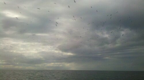
Continuing along the coast I passed many inviting small beaches.  As I passed Troup Head, I was surrounded by hundreds of gannets circling overhead.

image

After some beautiful scenery, I stopped on a small beach in Cullykhan Bay.  No paddling this weekend as very strong winds are forecast – I had to weigh down the boat to stop it blowing away during some fierce gusts today.

image
Spot the tent!

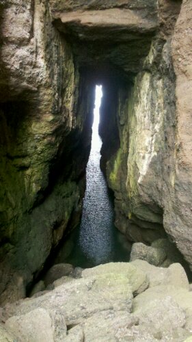
There are some more impressive sea caves here – you can walk right through the headland when the tide is out.  I’ve been told that this used to be a popular spot for smugglers.

image

Near Lossiemouth

image

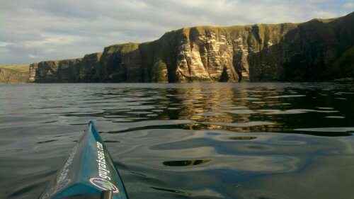
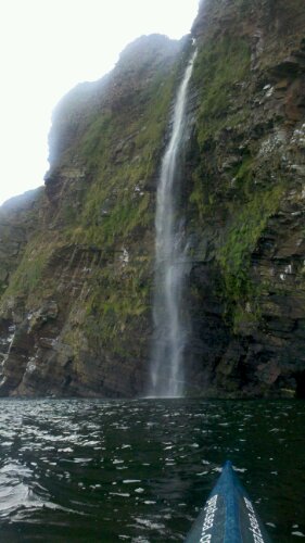
After Latheron, I passed some of the most impressive cliffs that I’ve seen – towering overhangs with many waterfalls, arches and huge caves.

image

Feeling pretty tired after paddling against the tide for much of the day, I stopped on a beach between Helmsdale and Brora.

image

The forecast didn’t took great for a big crossing (not too bad either), so I took a couple of days off to rest.  A very isolated beach – I didn’t see anyone else the whole time I was there.

image
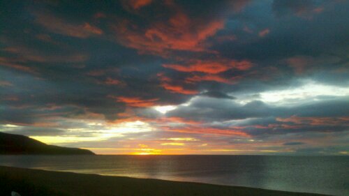
Red sky in the morning ...

Yesterday, I paddled into Brora to stock up on food (I’d run out again), had a massive lunch then paddled out to Tarbet Ness.  By the time I arrived there, a breeze had picked up, so I decided to carry on downwind towards Lossiemouth.

image
Tarbet Ness

I stopped at Classach Cove just as the light was fading (the days are getting shorter) – another lovely spot with a cave that you can walk through to reach an adjacent beach.

image

Latheronwheel

image
Noss Head

I left Sinclair’s Bay yesterday and paddled round Noss Head.  As I passed Wick, the offshore breeze became strong enough that I had to paddle quite hard (in heavy rain)  to get back in the lee of the cliffs.

image
Latheronwheel Harbour

I stopped at Latheronwheel, near Dunbeath, pleased to have found a good place to stop after such a long run of cliffs with few landing options.  I met Kevin, a friendly cycle tourist from Wisconsin who shared some beers with me.  Thanks !

The forecast looks goods today, so I’m continuing southwards.