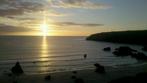
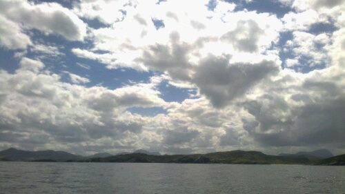
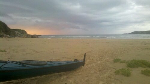
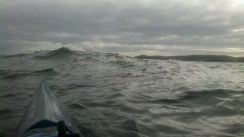
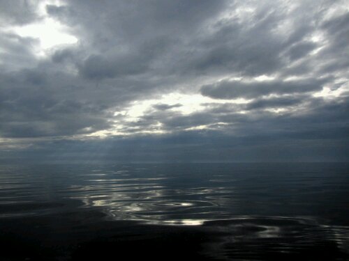
Cullykhan Bay

image

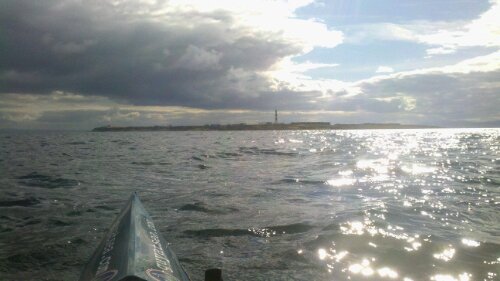
There doesn’t seem to have been much correspondence between the forecast and the weather recently.  As I passed Lossiemouth, there was a much stronger headwind than I’d expected, and I had to shelter in the harbour for a bit before crossing Spey Bay.

I stopped at a campsite at Buckie and took a day off for much needed battery charging and laundry. 
image
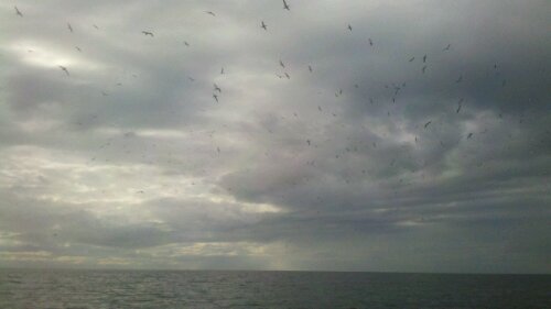
Gannets at Troup Head

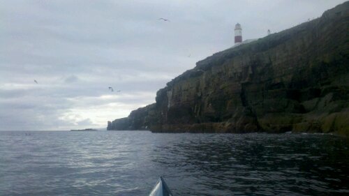
Continuing along the coast I passed many inviting small beaches.  As I passed Troup Head, I was surrounded by hundreds of gannets circling overhead.

image

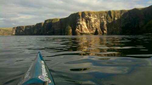
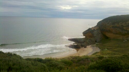
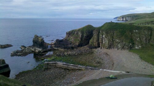
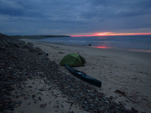
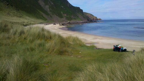
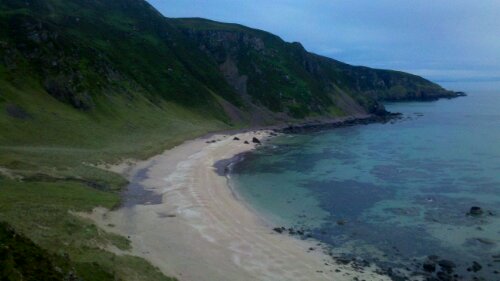
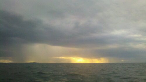
After some beautiful scenery, I stopped on a small beach in Cullykhan Bay.  No paddling this weekend as very strong winds are forecast – I had to weigh down the boat to stop it blowing away during some fierce gusts today.

image
Spot the tent!

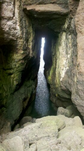
There are some more impressive sea caves here – you can walk right through the headland when the tide is out.  I’ve been told that this used to be a popular spot for smugglers.
image

Leave a Reply

Your email address will not be published. Required fields are marked *

*

Near Lossiemouth

image

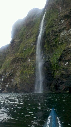
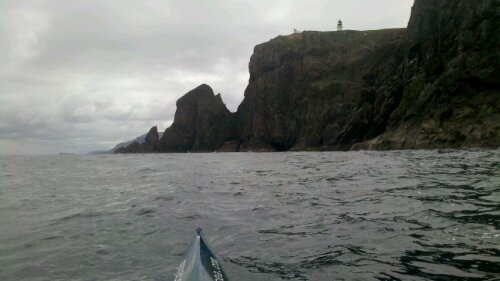
After Latheron, I passed some of the most impressive cliffs that I’ve seen – towering overhangs with many waterfalls, arches and huge caves.

image

Feeling pretty tired after paddling against the tide for much of the day, I stopped on a beach between Helmsdale and Brora.

image

The forecast didn’t took great for a big crossing (not too bad either), so I took a couple of days off to rest.  A very isolated beach – I didn’t see anyone else the whole time I was there.

image
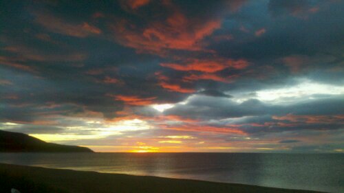
Red sky in the morning ...

Yesterday, I paddled into Brora to stock up on food (I’d run out again), had a massive lunch then paddled out to Tarbet Ness.  By the time I arrived there, a breeze had picked up, so I decided to carry on downwind towards Lossiemouth.

image
Tarbet Ness

I stopped at Classach Cove just as the light was fading (the days are getting shorter) – another lovely spot with a cave that you can walk through to reach an adjacent beach.

image

Leave a Reply

Your email address will not be published. Required fields are marked *

*

Latheronwheel

image
Noss Head

I left Sinclair’s Bay yesterday and paddled round Noss Head.  As I passed Wick, the offshore breeze became strong enough that I had to paddle quite hard (in heavy rain)  to get back in the lee of the cliffs.

image
Latheronwheel Harbour

I stopped at Latheronwheel, near Dunbeath, pleased to have found a good place to stop after such a long run of cliffs with few landing options.  I met Kevin, a friendly cycle tourist from Wisconsin who shared some beers with me.  Thanks !

The forecast looks goods today, so I’m continuing southwards.

One Reply to “Latheronwheel”

  1. Hi – I hear you where in Latheron today, and said hello to two friends of mine Jane and Carole! (I used to work with them in Manchester many, many, years ago!) – but from your map, you have sailed past my old house just outside Helston (Cornwall)!
    It’s such a small world! (but not from a kayaker’s point of view!)
    Keep up the great work!

Leave a Reply

Your email address will not be published. Required fields are marked *

*

Sinclair’s Bay

image
Duncansby Head

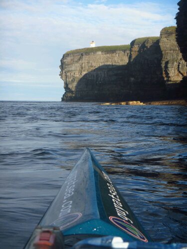
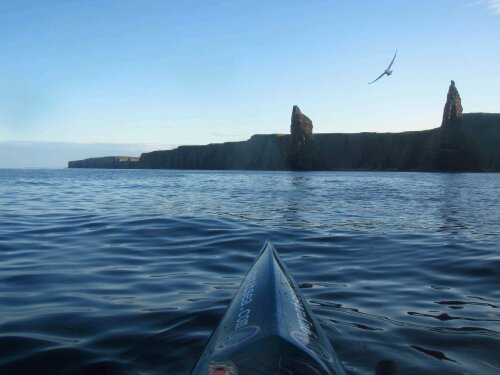
The best weather for going through the Pentland Firth was Wednesday, but the tides meant either a very early start or a very late arrival – I opted for the latter.

image

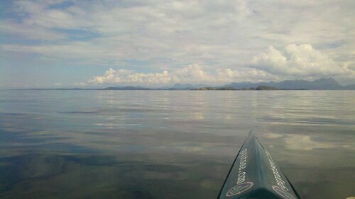
The calm weather and my passing through very early in the flood meant the conditions were very calm – nothing like everyone had warned me about.

image

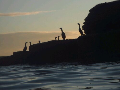
I paddled under incredible looking cliffs as the sun set, and arrived at Sinclair’s Bay just add the last of the light was fading from the sky.

image
Dawn at Sinclair's Bay

Yesterday, I took a day of to rest after rushing across the north coast.   It wasn’t totally relaxing though, as there wasn’t enough beach and the tide came within less than 6 feet of my tent.  Time to start the long paddle south.

2 Replies to “Sinclair’s Bay”

  1. Well done, Guy – you’ve rounded the corner and now on the east coast, so it’s downhill all the way to Cambridge. I can taste the champagne already!
    Much love, Mum x

Leave a Reply

Your email address will not be published. Required fields are marked *

*

Dunnet Bay

image
Sunrise at Durness

Yesterday, the offshore wind that had been howling through Durness finally stopped and I was able to paddle again.  Despite trying to be careful, this trip seems very hard on kit, and I’d spent a lot of time at Durness sewing, soldering, glueing and tinkering with various things that had broken recently.

image

Conditions were calm and I enjoyed paddling past more impressive coastline, stopping at Armadale Bay – going to sleep while some a couple of surfers caught some waves at dusk.

image
Sunset at Armadale Bay

Today, there was a bit of swell, but light winds.  I had to have quite an early start to get round Strathy Point, but the Taran was surfing down some waves nicely as I went past.

image
Approaching Strathy Point

Conditions were quite lively in places as I approached Thurso, and this is a calm day !  Some huge caves and stacks on this bit coast.

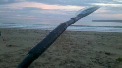
Just as I was coming in to land at Dunnet Bay, disaster struck – my paddle shaft broke for no particular reason (although I had noticed a crack in the ‘shrink wrap’ on the shaft yesterday, so maybe it was on the cards).

image

I’ve bodged a repair using gorilla tape and a piece of plastic tube found on the beach as a sleeve.  It feels pretty strong, but the shaft diameter is now much too big.  Emergency use only – I’ll be using my Werners until I can find a replacement.  I really like the kinetic wings.  If anyone knows who might still stock some of the old type of Lendal shafts, please let me know.

Thanks very much for the recent donations taking the total into four figures – including the anonymous one with the cryptic Alice in Wonderland message !

Leave a Reply

Your email address will not be published. Required fields are marked *

*

Past Cape Wrath !

image
The beach at Camas Mor

It’s been hard to find a signal, so I haven’t updated this for a while.
I’ve covered some distance to try and make good use of the settled weather.

After Camas Mor beach, I paddled in more calm weather past Greenstone Point, and on past the outside of the Summer Isles.

image
The Summer Isles

It looked sunny on the Summer Isles, but rainy further inshore.  I continued to Clachtoll where I stayed at the friendly campsite right by the beach.  The next day, the wind was stronger but behind me so I pressed on northwards.

image
Sandwood Bay

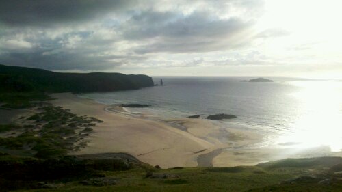
Conditions seemed choppy after so much calm weather, especially approaching the Point of Stoer and as I passed Handa Island, making it exhausting and hard to rest on the water, so I was glad to arrive in the shelter of beautiful Sandwood Bay.

Yesterday was another calm day, so I paddled round Cape Wrath. I timed it to go round near the start of the flood and it was nice and calm.

image
Cape Wrath

I stopped at Durness where I’m enjoying a rest today rather than battle a headwind.  Looking at the forecast, I may stay here for a few days, but I can’t complain about the weather after being able to paddle every day I wanted to while on the west coast of Scotland.

5 Replies to “Past Cape Wrath !”

  1. Slater man,

    Emily just told me you were sailing a luxury yacht around the Isle of man or something for charity. Well done old chap. Are you enjoying yourself?

    Gaughany

  2. Hi Guy,
    I meet you yesterday morning at Sandwood bay with my partner Fran (I was the one who attempted to swim but it was freezing!!), we’re now back in London but i wish I was camping on the coast! best of luck for the rest of the journey,
    David

  3. Wow Guy you are doing brilliantly – the photos are great, take me back to all my childhood holidays in Scotland – All the best 🙂

  4. Hi Guy! We thought of you as we crossed The Wash and past Kings Lynn the other day. You’ve certainly been an inspiration to us both on our trip and your determination is just incredible. You are so close now and it will end all too soon. We’re beginning to wonder how we will cope going back to ‘normal life’. Good luck with your homeward stretch & thank you for such a brilliant blog – we’ve loved following whenever we can. Best wishes, Jane & Andy Morton.

    • Thanks !! The Wash already – you’ve made some excellent progress. I meet someone near Gairloch who said he had met you earlier on your trip – said you’d just crossed back from Ireland and had paddled over to chat with him while he was becalmed in his yacht. Small world (but a big coastline).

Leave a Reply

Your email address will not be published. Required fields are marked *

*

Leave a Reply

Your email address will not be published. Required fields are marked *

*

Redpoint

image

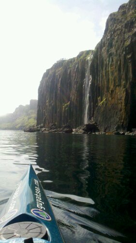
I left Staffin Island yesterday and made a little detour to go and have a look at the waterfall by Kilt Rock – an impressive sight.

From there, I crossed directly to Redpoint.  There were some patches of mist for the first few miles, but that soon cleared and I was able to aim for the red sand at Redpoint.

Once I arrived here, I felt pretty exhausted, so I camped.  Today, I’m heading into Gairloch to stock up on food before continuing north.

One Reply to “Redpoint”

  1. I’ve been following your progress online and it just so happens we arrived in Badachro yesterday for our holiday. We’ll look out for you today. Well done for a massive effort and the very best of luck for the rest of your trip.

Leave a Reply

Your email address will not be published. Required fields are marked *

*

Staffin Island

image

Yesterday, I left Ardmore bay and continued up to Waternish point, from where I crossed due east, dodging the Uig ferries, before heading north to Rubha Hunish, then down to camp on Staffin Island.

It was so calm that I could see the wakes of jellyfish swimming during the crossing, and I could brush my fingers on the rock columns as the tide carried me past Skye’s most northerly point.

Leave a Reply

Your email address will not be published. Required fields are marked *

*

Ardmore Point

image
Macleod's Maidens

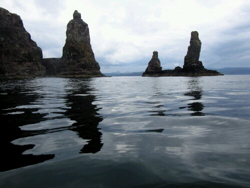
I continued round Skye yesterday in calm but showery weather.  Very dramatic coastline with towering cliffs, huge birds of prey, and many waterfalls, caves, stacks and natural arches.

image

It was very calm as I passed Neist Point at low tide and I continued
to Ardmore Bay.  After seeing that the beach was full of long-horned highland cattle, I decided to go back to camp on a patch of grass near Ardmore Point.

Leave a Reply

Your email address will not be published. Required fields are marked *

*